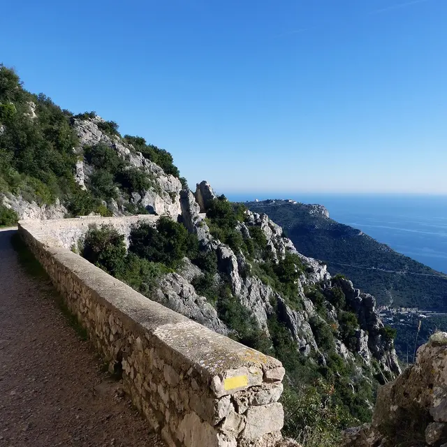
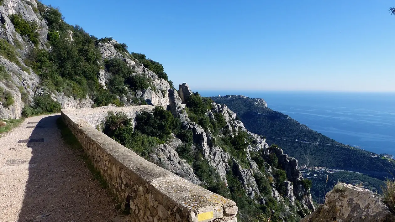
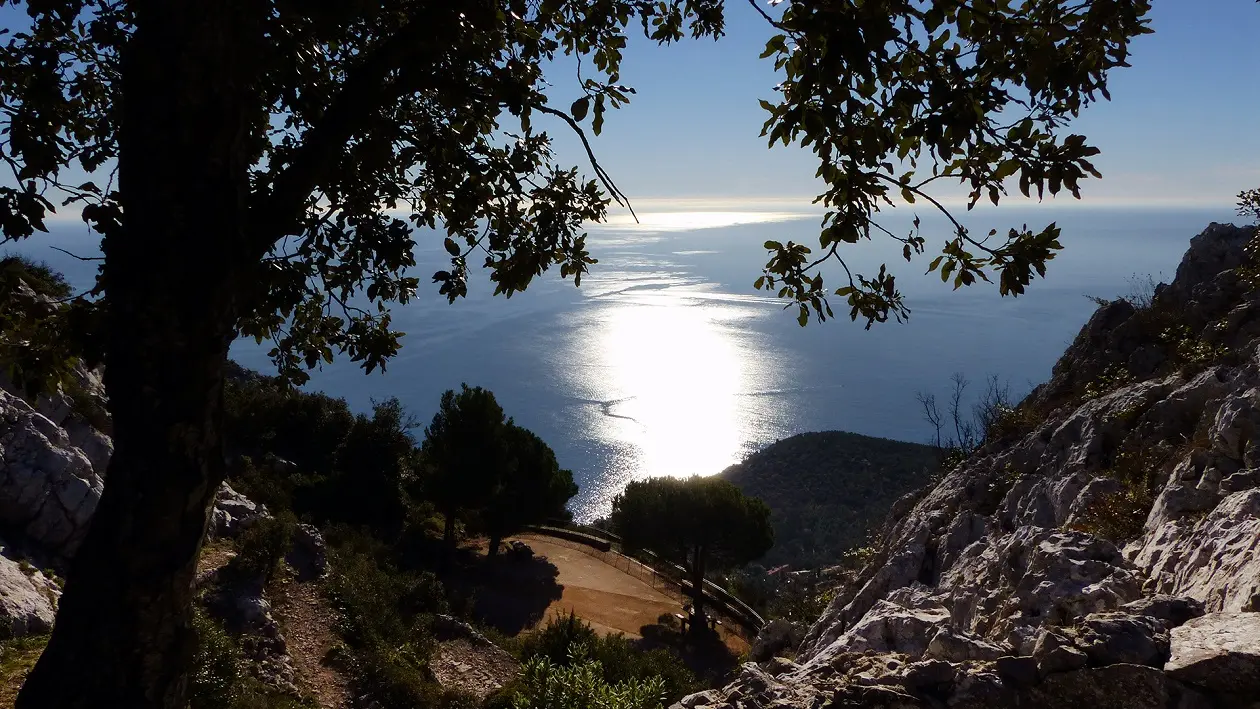
From the entrance parking lot (West) of La Turbie, follow the RM 2564 towards the Èze pass to find just after a warehouse of materials the beginning of the small road of the Forna beacon (b.636). First tarred, then concrete and quite steep (b.637), this one soon makes way, above the last houses, to an easy path in the bare garrigue. Climb gently by a long crossing (b.638) in the ubac of the Forna, above the toll station of the A 8. We reach further up the DFCI track (b.639) which connects La Turbie to the fort of La Revère: follow it for a while until a wide esplanade, facing the “house of nature” (b.640). Turn left (b.641), shortly after the “nature trail”, the wide path that culminates in the orientation table of the departmental park, installed at the top of the observation tower of the Simboula (675 m). Retrace your steps to the esplanade (b.642) and descend through the old military track that crosses two tunnels that are both high and narrow. We thus arrive at the top of the Forna (621 m - b.643), having left on the right the road of the Simboula which runs in tight laces towards the great Corniche. Continue on a path (b.644) that quickly joins the ascent route, in view of La Turbie.