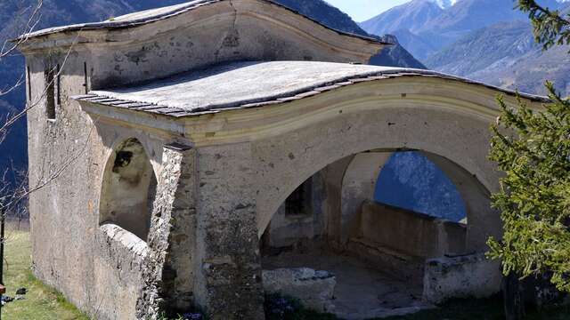
From the entrance car park (510 m - b.21), cross the village and turn left onto the paved path to the monastery of Notre-Dame-des-Miracles (b.20) above the retirement home. An ascending dirt track then leads to the gîte d'étape, then to a beautiful watering place (b.162). Continue straight ahead on a wide path up the Peiremont valley, soon crossing a farm and continuing the ascent to the Pinée drinking trough (870 m - b.433). The descent is also made along a convenient path that crosses a series of agricultural terraces dotted with small barns; note the massive Sainte-Croix chapel (676 m), with its half-moon roof inspired by the local "casouns", and the elegant vaulted bridges that span the Peïremont and Anguiron valleys. Shortly after the chapel, join the ascent route via marker 163 and quickly return to the village.NB: it is possible to climb the Peiremont pass (1,040 m - b.432 ) from the Pinée watering hole by a fairly steep path (1 hour round trip).