Wanderung Lac des Mesches - Gauron - Granile
Sportaktivitäten, Laufsportarten, Fußwanderungsstrecke
Um Tende
8.0
km
3Uhr
Sehr einfach zu bedienen
-
Der Weg zu den Scheunen von Gauron ist einfach und eignet sich perfekt für Kinder und Gelegenheitswanderer. Der Aussichtspunkt von Gauron ist ein idealer Ort für ein Picknick in der Sonne.
-
Nehmen Sie den Weg 400 m unterhalb des Staudamms von Mesches (Markierung 235). Überqueren Sie ihn waagerecht bis zur Markierung 236. Der Pfad führt hinunter bis zu einer großen, chaotischen Geröllhalde.
Leicht ansteigend bis zur Markierung 237; weiter ansteigend bis zum Weiler Cioto. Durchqueren Sie das Tal und steigen Sie bis zur Markierung 238 auf.
Ein kurzer, steiler Anstieg führt Sie bis zur Markierung 222, dann entdecken Sie auf der linken Seite die Scheunen von Gauron.
Über eine...Nehmen Sie den Weg 400 m unterhalb des Staudamms von Mesches (Markierung 235). Überqueren Sie ihn waagerecht bis zur Markierung 236. Der Pfad führt hinunter bis zu einer großen, chaotischen Geröllhalde.
Leicht ansteigend bis zur Markierung 237; weiter ansteigend bis zum Weiler Cioto. Durchqueren Sie das Tal und steigen Sie bis zur Markierung 238 auf.
Ein kurzer, steiler Anstieg führt Sie bis zur Markierung 222, dann entdecken Sie auf der linken Seite die Scheunen von Gauron.
Über eine horizontale Querung im Unterholz erreichen Sie den Berg Bonsapée (1343 m, Markierung 221).
Gehen Sie am Südhang vorbei und beginnen Sie den Abstieg nach Granile. Bald kreuzt man die Druckleitung, die nach St-Dalmas-de-Tende führt, und über die Bretter (Restanques) erreicht man leicht Granile (B. 220).
Variante: Bei der Markierung 238 links abbiegen, Richtung St Dalmas de Tende, um bis zur RD 91 hinabzusteigen, die man benutzt hat, um zum Lac des Mesches zu gelangen. Dort angekommen, haben Sie die Möglichkeit, nach St-Dalmas de Tende abzusteigen oder in 40 Minuten zum Lac des Mesches aufzusteigen.
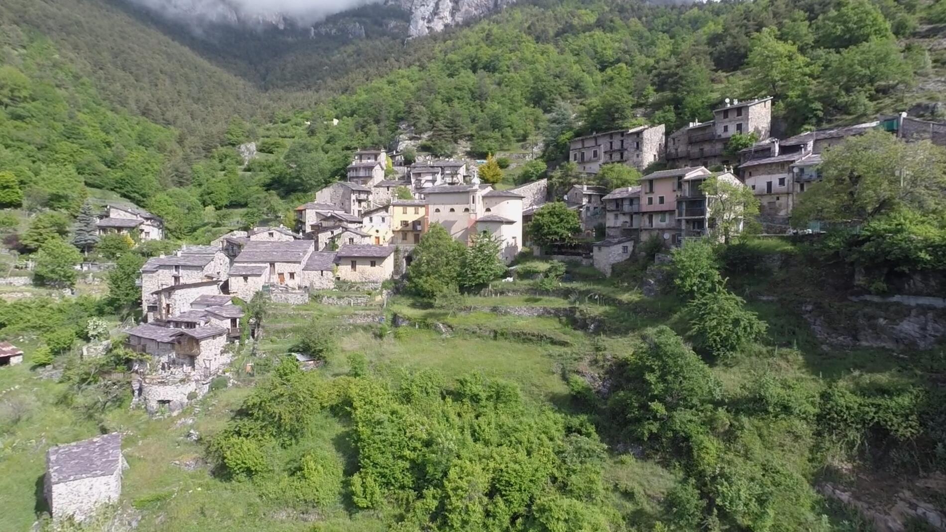
Tourismusinfo: Die Granges de Gauron waren die Sommerwohnungen der Granilais, als ihr Lebensunterhalt von der Schaf- und Ziegenzucht abhing.
- Abfahrt
- Tende
-
-
Ganzjährig.
Unter Vorbehalt günstiger Wetter- und Schneeverhältnisse.
-
-
Gesprochene Sprachen
-
-
-
-
-
Dokumentation
- Mit GPX / KML-Dateien können Sie die Route Ihrer Wanderung zu Ihrem GPS (oder einem anderen Navigationswerkzeug) exportieren
-
- Alle Kommentare ansehen
Service
-
-
Dienstleistungen
-