From the Col de Castillon car park (730 m), follow on foot (north) the small road reserved for the residents of the Biatonéa district. A path soon rises to the left above a few houses; take it to a flat area and continue the ascent along a wide path with a steep gradient, which is followed by a winding path that winds through the cliffs of Mont Roulabre.
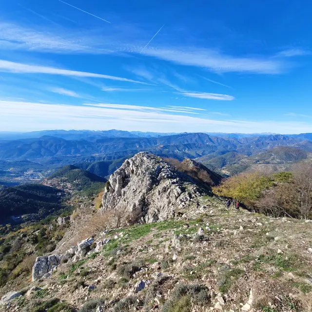
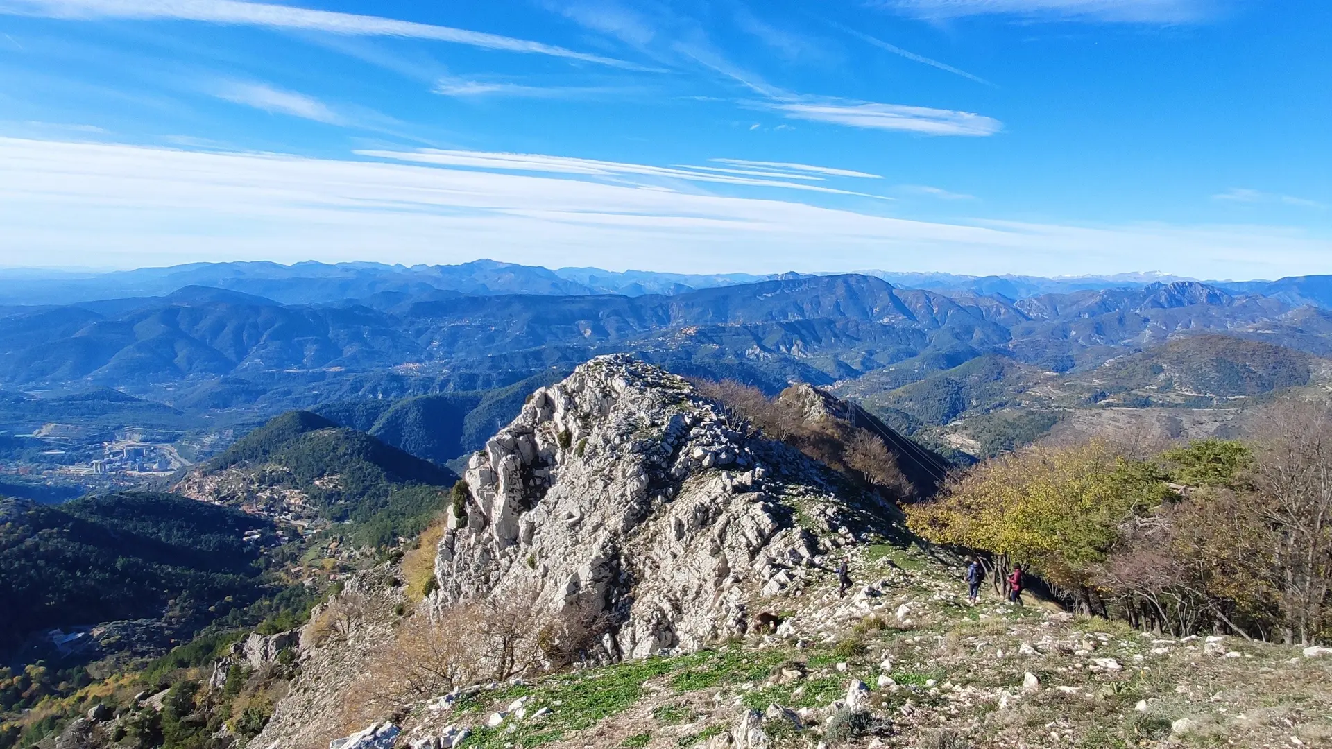
You reach a fork in the road (1,168 m - b.92) just below the Scuvion drop; from here, head south on a quasi-horizontal crossing that leads via beacon 93 to the southern shoulder of Mount Razet where the "Pierre Pointue" (1,176 m) stands, a grey limestone tooth surrounded by military works.
It is possible from this point to climb to the summit of Mont Razet (orientation table) by a small confidential path (b.93a); in this case add 110 m of ascent for 30 minutes of walking back and forth.
Go back to marker 93, then descend on a beautiful winding path that runs through scree at the foot of a system of limestone bars.
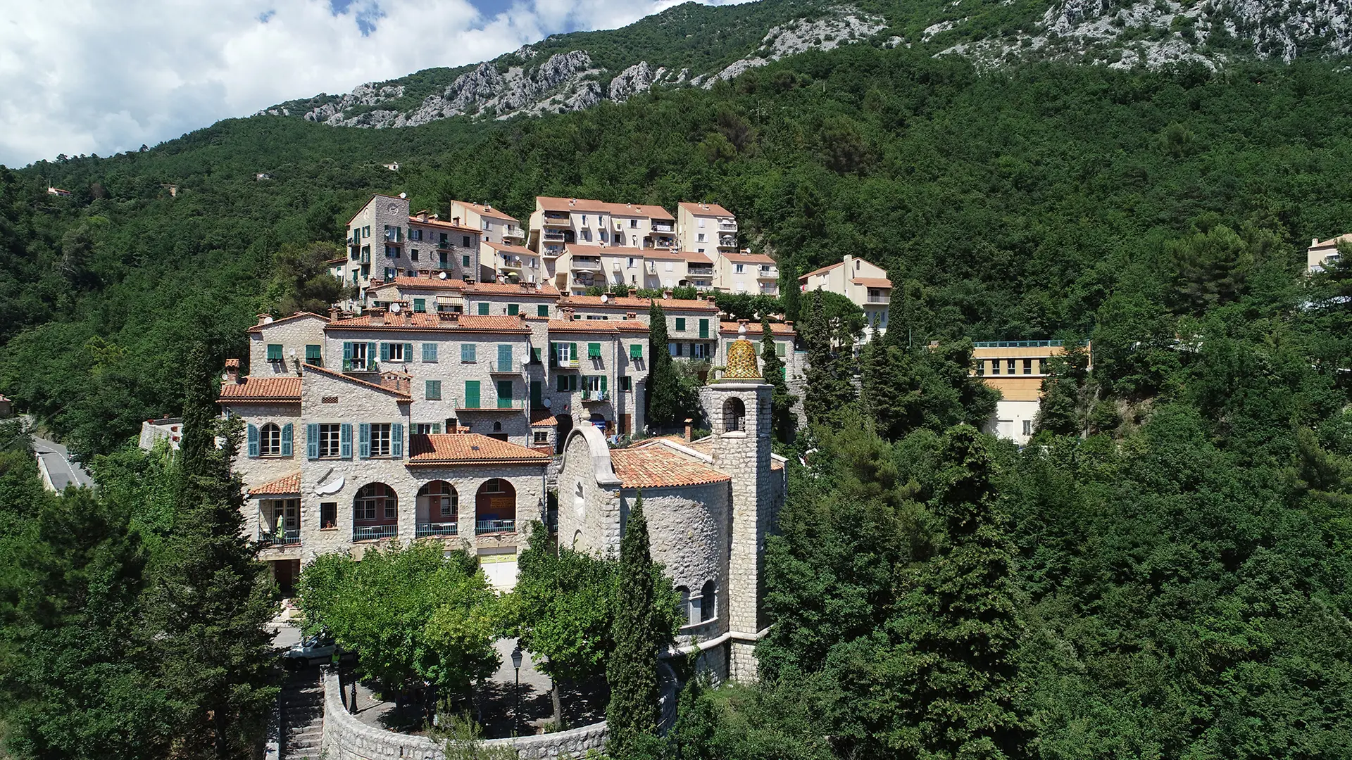
An oak grove precedes the abandoned countryside of Fontanelle, then come the first houses of the Biatonéa district where you find the small road followed on the way up.