Wanderung zum Maïma-Felsen
Sportaktivitäten, Laufsportarten, Fußwanderungsstrecke
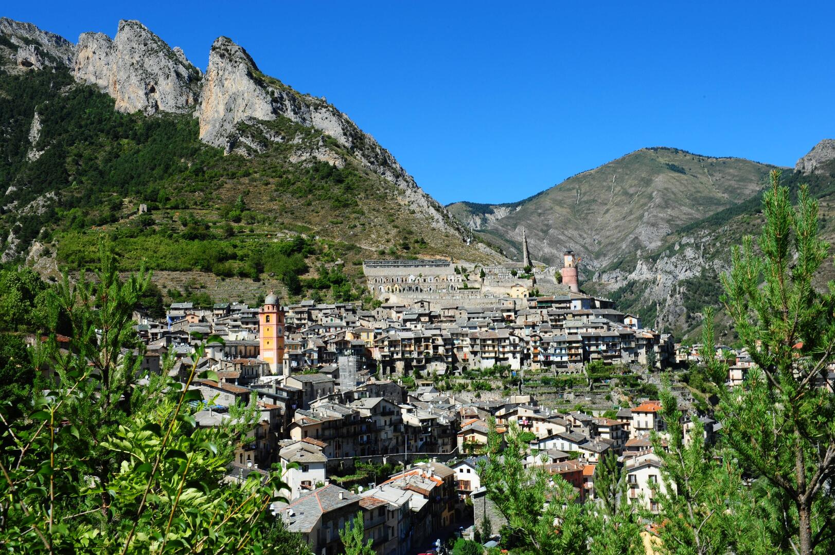
Um Tende
5.8
km
3Uhr 30min
Ziemlich schwierig
-
- Opposite the town hall, go up rue Capitaine Auber.
- In the first bend, follow the markers 70 and 71 and go up towards Maïma and Canaresse-Viévola.
- At tag 361, go up towards Tende-Chapelle St Sauveur, Riba de Bernou, then we start the descent to Tende from tag 349.
- At marker 68, a fork gives you access to the St Sauveur chapel via a steep path equipped with a handrail. Then join the markers 67 and 66 towards the remains of the castle, currently the cemetery of Tende, and go down the...- Opposite the town hall, go up rue Capitaine Auber.
- In the first bend, follow the markers 70 and 71 and go up towards Maïma and Canaresse-Viévola.
- At tag 361, go up towards Tende-Chapelle St Sauveur, Riba de Bernou, then we start the descent to Tende from tag 349.
- At marker 68, a fork gives you access to the St Sauveur chapel via a steep path equipped with a handrail. Then join the markers 67 and 66 towards the remains of the castle, currently the cemetery of Tende, and go down the tarmac road (rue Capitaine Auber).
Tourist Info: The partially walled caves that can be seen overhanging during the descent were used as a gathering place for Protestants during a period of persecution in the 16th century. They are called the Caves of the Heretics.
- Abfahrt
- Tende
-
-
Ganzjährig.
Nur bei günstigen Wetterbedingungen.
-
-
Gesprochene Sprachen
-
-
-
-
-
Dokumentation
- Mit GPX / KML-Dateien können Sie die Route Ihrer Wanderung zu Ihrem GPS (oder einem anderen Navigationswerkzeug) exportieren
-
- Alle Kommentare ansehen
Service
-
-
Dienstleistungen
-